Close this alert
Discounted
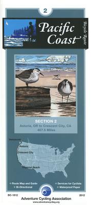
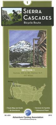
Pacific Coast Bicycle Route - 2: Astoria, Oregon - Crescent City, California - 408 Miles
Previous price:
$16.75
Current price:
$15.95
Publication Date: May 1st, 2012
Publisher:
Adventure Cycling Association
ISBN:
9780935108361
Pages:
2
Port Book & News
1 on hand, as of May 11 6:41pm
On Our Shelves Now
Description
Along the Oregon Coast, the route often uses US 101, a two-lane highway popular with tourists. During the summer months and on holidays and weekends this highway carries moderate to heavy traffic. This is also timber country, so watch for logging trucks. Many improvements for bicycle traffic have been made along US 101. In places the shoulders have been widened and striped. Tunnels are well-lit, and the tunnel at Arch Cape has a flashing light that you can activate to warn motorists that you are in the tunnel. Also watch for special hiker/biker sites in the state park campgrounds.
Where the route leaves US 101, the roads are generally rougher and without shoulders, but traffic tends to be light. There are some steep ascents over coastal headlands, notable between Cannon Beach and Manzanita. Traffic is heavier near and in Lincoln City, and thins again on the gentle grades around Newport and Waldport. Many of the coastal towns cater to tourists, and you'll find the views along the coast breathtaking. West of Sixes is Cape Blanco State Park, which calls itself the most westerly Park in the continental U.S. Once you enter California, the route leaves US 101 and takes rural side roads along the level coastal plain into Crescent City.
ABOUT ADVENTURE CYCLING MAPS
Adventure Cycling maps are created by cyclists, for cyclists, and they are some of the best available for those in search of discovery and adventure in North America. The maps reflect the association's research as well as suggestions from thousands of cyclists who have explored the Adventure Cycling Route Network. Adventure Cycling develops the best cross-country, loop, coastal, and inland cycling routes available, with turn-by-turn directions, detailed navigational instructions for the tricky sections, and elevation profiles in the high country.
The maps are waterproof and designed to fit in a handlebar-bag window or jersey pocket. The maps provide information specifically for cyclists: the location of bike shops, sources for food and water, and listings of overnight accommodations including camping facilities, small hotels, and cyclists-only lodging.